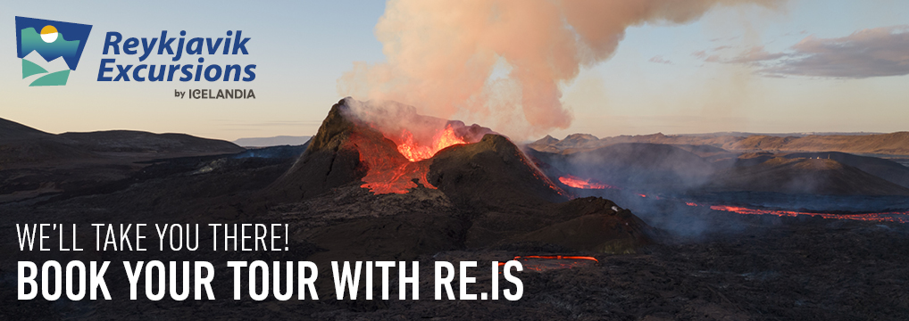
On July 10th, a volcanic eruption started in Litli-Hrútur on the Reykjanes peninsula. This eruption is near where past eruptions happened in the Fagradalsfjall area. It started out bigger than the earlier eruptions but has since gotten smaller and is of a similar size compared to the other eruptions
It is harder to get to where this eruption is happening. If you want to go there by foot, there is only one open trail, Trail D. It is marked in purple on the map below. The walk is almost 10 km (6 miles) each way, and the terrain is difficult, with some minor hills to climb. The trail follows a dirt road most of the way, but the last part is through an open lava field and up onto a small mountain.
By selecting one of the days above you can see an easy to understand and detailed weather and gas forecast for the hike.
Since the initial eruption of Fagradalsfjall in 2021, Wet.is has been offering comprehensive volcano weather forecasts and essential information for those wishing to visit the eruption sites.
All of the eruptions have drawn thousands of visitors daily during their active phases. Witnessing a volcanic eruption at close range is an awe-inspiring, once-in-a-lifetime opportunity for most. While it can be safe to approach a small-scale volcanic eruption, such as those in Fagradalsfjall, it's crucial to take precautionary measures. Monitoring the weather forecast closely and equipping yourself appropriately are essential steps before embarking on a hike towards an erupting volcano.
We do provide weather forecasts tailored for those planning to hike towards the volcano. The forecast provides all the necessary condition-related information you might need for your journey. We aim to present clear and concise details about wind speed, temperature and rainfall predictions in an easy-to-read format. Furthermore, we include updates about potential gas pollution levels during the hike.
Every hike towards the volcano should start with a condition check at wet.is. We invite you to explore our map, which shows eruption sites and paths to former eruptions. Also, check out our FAQs for common inquiries, as well as our guide on necessary equipment for the hike.
Is the region open all the time?
The eruption site is usually open 24 hours each day. There is however fewer or no response units at the site during late evening and nighttime. It is highly recommended to visit the region during the day when there is more response on the site.
Can I bring a drone?
Flying a drone has generally been allowed in the region. Drones can be flown up to 120 meters above ground level. Drones can however be banned for short periods due to research flights above the volcano. More info about drone flights and announcements regarding flight bans can be found on the Icelandic Transport Authority website.
Is visiting the eruption site dangerous?
Visiting the eruption site is not so dangerous if you make sure to follow general rules at the site. By staying on tracks and far away from the eruption the danger can be limited. It is also important to check weather forecasts regularly and dress appropriately.
Can children hike towards the volcano?
If the site is open for adults, children are allowed as well. Parents should asses their child's ability to do the hike beforehand and take into consideration that children are more vulnerable to gas pollution.
When will the eruption stop?
It is impossible to say when the eruption will end. It could be tomorrow and it could be years from now. The first eruption lasted for around half a year while the second one only lasted for 18 days.


